Leave a Reply
Want to join the discussion?Feel free to contribute!

Route Name: Gander
Application Status: Awaiting
Application Cycle: current
Rock Formation: The Goose Eggs
Number of lead bolts to be placed: 7
Number of anchor bolts to be placed: 2
Route Difficulty:5.12-
Route Diagrams:

Proposed Route:
A stick clip will be recommended for a high proposed first bolt. Climb easy rock up and right to gain a small ledge. Moderate climbing continues on vertical terrain to reach the base of a long tufa feature on slightly steeper rock. A short, yet pumpy and powerful crux sequence climbs over a bulge through the beginning of this tufa feature. Find better holds above, but hang on for more pumpy climbing that eventually leads to jugs at the top of the very top of the wall and the anchor.The intention behind the route name is to stay with the theme of the other route names on this wall, and for the entire formation in general.
Name Meaning:
Gander is the term for an adult male goose.
Existing Route Information
There are currently 4 existing routes on this formation:1) Ollie: 5.9 bolts and gear2) Gossie: 5.11a/b bolts and gear3) Gander: 5.12- top rope to the right of Gossie4) Gertie: 5.11? top rope arete to the right of Gander5) East Face: 5.3 tradThese routes are approximately 10 feet apart or more.Existing Route Diagrams

A description of the approach (include approximate distance from the designated trail system, existing “social” or undesignated trails leading to the climb and condition of the trail, and state whether there is a durable surface, such as rock.
Approach from the Fern Canyon trail. There is a climber trail leading to the existing routes on the S. side of the Southern Goose Egg. Leave the Fern trail here, but keep right skirting in front of the rocks. Head North for two hundred yards, then turn left and head up broken slabs into a corridor beneath the Northern Goose Egg.
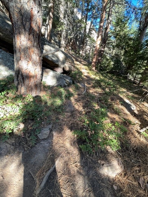
If different from the approach, a description of the descent, (include approximate distance from the designated trail system, existing “social” or undesignated trails, a description of the trail condition and whether there is a durable surface, such as rock. Include photographs of the descent.):
Descent from the climb is to lower back to the staging area and reverse the same trail as the approach.
A description of the area at the base of the climb (include existing levels of soil compaction, existence of a durable surface such as rock, and existing soil erosion. Include photographs of the area at the base of the climb.):
The base of the route is on flat level ground with compact soil and a few rocks, with no soil erosion.
Has all reconnaissance work that can be reasonably done, short of placing any hardware, been done?
Base Area Photos
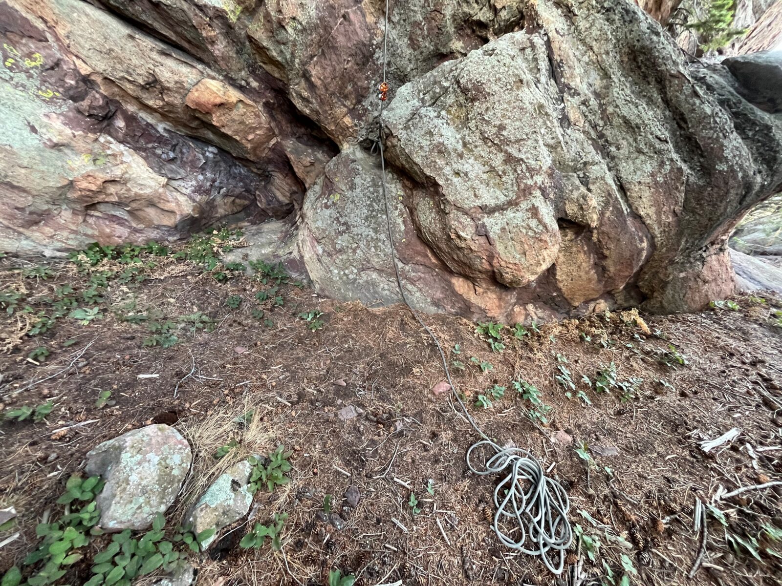
Has the route been top roped? Is there loose rock? Is it extremely overhanging?
The route has been top roped successfully and completely from top to bottom at a grade of around 5.12b. The rock is very high quality from start to finish, with no loose rock. It is mostly vertical to slightly overhanging at the top.
Any additional notes:
This will be an excellent new route in a great area that already has 2 recently approved routes. The route is approximately 50 feet long.
 Seal Rock Trail DayOctober 9, 2026 - 2:46 pm
 Trail Day at Seal Rock October 3September 15, 2026 - 8:37 am
 26th Annual Flagstaff Trash Bash ReportSeptember 6, 2026 - 2:46 pm
 Join FCC at the 26th Annual Trash Bash September 3August 1, 2026 - 11:47 am
 From Boulder OSMP “Seasonal area closures have been lifted”July 30, 2026 - 3:48 pm
 OSMP/FCC Trail Day at The Slab: Trip ReportJuly 27, 2026 - 2:59 pm
 Department of War
Beautiful rock and a clean-looking line. YES please!